Karoo 3: how to navigate without internet access?

How can I navigate without internet? I've downloaded offline maps on Karoo 3, also downloaded offline google maps. Then I choose an address in Google maps and click on 'share'. Then I select Hammerhead Companion app to share with, and get error message like in screenshot

-

If you share from google maps, you need to know that it is a link, e.g. like https://maps.app.goo.gl/dun7ajqjtahLujH79 . The link itself does not have information about the position, so of course there must be an internet connection to open this link. It would be different if you sent a specific position to HH, then it could set the map in the desired place. Unfortunately, Companion App does not have offline maps, so you can't do anything about it.
I would really like to have such a possibility and I started a thread about it here
It turns out, however, that this is probably beyond HH as well as many other simple things.
-
That sounds weird for an offline cycling navigation device. It's a core functionality for a cycling nav though. They could implement the offline search in device itself like garmin already does. I mean, come on, you can see street names, cities etc. in karoo offline maps, you can choose the nav point on the map but searching requires internet connection? Hmm
Any input from HH team on this? Are you planning to add offline search functionality?
As a side note I've Magic Earth app installed on my smartphone. It's a full offline nav app and I can share the location. However, if Is share it with the Companion App I get error as in screenshot. The shared data looks like this:
------------------------------------------------
Check out this place, via Magic Earth app:
Address: Brussels, Belgium
Latitude: 50.84655719
Longitude: 4.35169687
------------------------------------------------

So as you can see there are lon and alt coordinates already provided. So, it'll be some acceptable workaround if HH could accept this data, parse coordinates and put them to Karoo.
This app also allows to share th gpx, kml or geojson files, but Companion App is not in the list of shareable apps
-

@Explorerone *Not* Your mobile is the internet hub.
The successor of the K1, a K2, is smarter. No need forr a (extra) SIM card for your Karoo. 90% of cyclists have a mobile phone. The successor Karoo (3) is connected to your smartphone with Bluetooth. The synchronization takes place between them.
Note: You can also (still) upload your route to your Karoo (3) before departure.You can use the Companion App to upload your rides, sync your routes and workouts, and more when away from Wi-Fi. You can instantly share any location from your Phone to the Companion App, and your Karoo will give you cycling-specific directions. It also allows you to share your Karoo live location with friends or family right from your Phone.
Note: This feature is only available for the latest generation of Karoo.
Prerequisites:
- Download the Karoo Companion App here.
- The connected phone should have and active Internet connection.
https://support.hammerhead.io/hc/en-us/articles/25501298109723-Companion-App-Connecting-Karoo
-
Probably CompanionApp can't interpret the data sent from your app. Currently it seems to be able to do it only with the location link received from Google Maps. I suspect CompanionApp uses the Google Maps API to obtain the position (that's why it requires a network connection) and sends only the position to K3. Of course HH could "teach" to recognize data or links from other maps, but that's an investment in time and work.
-
@Gerard van Rijn the question is like in the title "how to navigate without internet access?".
It makes no difference whether it's WiFi (when you plan and send a route at home) or mobile connection when you're out in the field. The question is very simple - how to navigate without internet connection. And why do you need an internet connection to send a point from your phone to Karoo 3 via CompanionApp using BT? Companion App is the weakest element of this system because it can't work offline. Not only does it not collect offline maps, but it also can't do a simple thing like - send a point or gpx from your phone to Karoo using Bluetooth.
To answer the title question. If you don't have internet, the only option is to find the destination point directly on the Karoo 3 device map.
In my multi-day trips, I sometimes planned a route for the next day without internet access, then sent it to Garmin (gpx/fit exporter) and ride! You can't do that with Karoo 3, if you have no internet.
-
@Gregory Gregory Right now - when your are in a situation with no internet connection - you can not share and or synch data between the Companion App and Karoo. The Companion App [ and the HH Dashboard website as well ] working only with Internet connection. They do not have offline mode.
In that case - your choice should be Garmin. -

With Garmin I can send a specific address from offline maps to the unit via Garmin Connect without an internet connection, but it is not possible in this case to share a gpx-file on my iPhone with Garmin Connect. With Wahoo you can share a gpx-file with the Companion app even without an internet connection and send it to your Bolt or Roam, but if you want to share a simple address with the companion app, it does not work, because the app wants to create a route, which seems not possible without internet connection. With Hammerhead you can't neither share a route or address with the app and so the BT connection with the Karoo is useless in this way.
Besides neither Komoot, Rwgps, Google, Apple or Bike Citizens can't create routes without an internet connections on my iPhone, but maybe I'm missing something.
I, too, can't understand why the Karoo can create routes when you set a point on the map but still don't has the database to search for (and route to) addresses on the device itself without any kind of mobile connection to your phone. That thing has 64gb of storage. Even in areas with mobile connectivity you have to use your phone first to search for an address. Running the Karoo app in the background does not help in this matter due to the lack of maps (different to Coros Dura or the Bryton units). The Karoo 2 was imo better equipped with its SIM-card in this way.
But finally, if I want real offline navigation and want to be sure to have it (and not just hope for that it may be implemented someday in the future) I have to buy a device that is capable of doing this by itself with address searches and the kind of things.
-
@Thomas Gruber I use the Magic Earth app (available for iOS and Android) for offline navigation. With this app, you can search for places and create routes to them offline. You can also export GPX files for those routes offline. However, the companion app doesn’t accept GPX files or location points.
Perhaps another workaround for the development team could be to add the option to manually enter longitude and latitude coordinates to set the navigation point.
-
I tried mapy.cz in the past but I wasn't impressed with either the maps or the routing. But every person has different preferences. Just out of sheer curiosity I installed Magic Earth and OsmAnd and let them create some cycling test-routes (as it is necessary when you're stranded in unknown territory). Magic Ears wanted to guide me through streets, where cycling is forbidden, and OsmAnd simply ignored some very important cycling routes and favoured streets with lots of traffic. But maybe I just was unlucky with my test routes and all three work very well for others. Or maybe I am riding in the wrong place. I've tried a lot of navigation apps, but finally I always come back to Komoot, as their maps and routes are the best for my style of cycling.
The list of mentioned apps didn't want to claim that offline route-building is not possible. I just wanted to point out, that Hammerhead is not the big bad exception in this regard. I for myself have never needed that functionality, as I always have my smartphone with me and never was that far away from mobile phone coverage, that the map on my cycling computer (in combination with the Komoot offline maps) couldn't guide me there. And here the Karoo performs very well, as for me it has the best and clearest presentation of cycling routes and paths of all (but is still lacking the mapping of different surfaces). But people who ride without their phones or in areas without mobile phone connection or on long bikepacking trips (and the risk of running out of phone battery) will see things differently.
-
@Thomas, did you choose the cycling option in Magic Earth or use the car route builder? For me, just having the ability to send the location point offline to the Karoo would be sufficient, as the Karoo can build the route on its own.
While cellular coverage is usually fine, consider an EU citizen traveling to Switzerland for a week, where EU roaming doesn’t apply. In that case, using even 1MB of data could cost €10, which adds up quickly
-
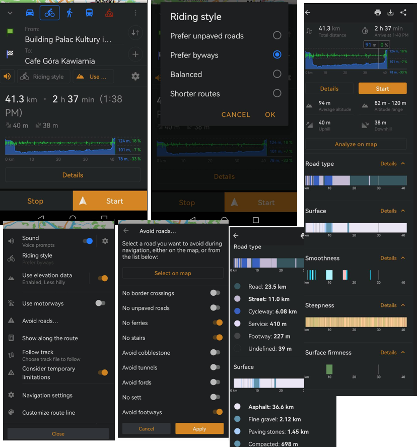
@Thomas, these are just examples of applications. Komoot paid is also very good, works offline. Mapy.cz works offline. OsmAnd works offline. OsmAnd has many options for selecting a route and avoiding. You probably had some unselected (eg. turn off "use motorways"). Look at the screenshots below. I dream of something like this in HH.
HH maps are not good for tourist planning. They do not have active information about any objects. Only graphics on the map, nothing more. I cannot click and check what object it is. I do not know if a shop, café or museum is open and what it offers. I have to check on another map at the same time. It makes no sense, since I can do it immediately on another, e.g. in one of the previously mentioned ones. That is why I started a thread here about the need for standard POIs on the map, added by the map manufacturer, e.g. shops, bike services, etc.
-
The Karoo is not a can-do-everything unit
@Thomas Gruber, Yes, but it's a cycling navigation and on their website they are misleading users with the statement that no wifi is required, which for me is an equivalent to "can work offline".
Our App for Android and iOS give you the flexibility to upload and sync routes and workouts, instantly navigate to pins, and easily manage your Karoo, no Wi-Fi required.
Last week I bought a new Garmin 1050 and it can search offline by street names and places without any issues, has a longer battery charge and a decent voice navigation without headphones
-

@Explorerone
It is too bad you had to go for a Garmin. I would love to choose Hammerhead instead, but the lack of true offline navigation is a showstopper for me. I wonder whether there is any development activity still going on; we haven't heard from Hammerhead/SRAM for so long now.
Please sign in to leave a comment.
Comments
17 comments