Routebuilder does not understand ferry routes
AnsweredHello,
I just moved to a new house and I am rebuilding my routes to and from work. As I now need to take the ferry to cross a river I found out that the routebuilder does not understand the the ferry route although the route is marked green.
Can you please solve this or explain to me how to workaround this?
Many thanks,
Martijn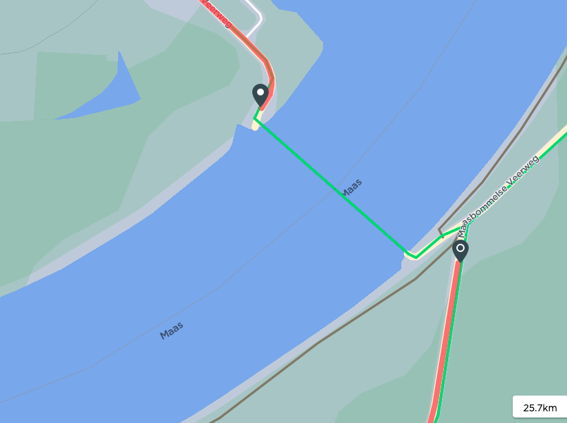
-

Hi Martin, Sorry for the trouble caused. Yes, you have done the right thing by adding waypoints to create your preferred Route. This is something we are looking forward to improve in the near future. You can also import the Routes from third part websites if you face any troubles with Route creation on the Dashboard.
-

David and Hari,
Thanks for the swift reply. I will try the workaround first thing in the morning as it is 00:22 now and I just returned from work.
@hari, when I import a gpx from a third party this works but the second I change anything along the route, not even near the ferry, the ferry part is rerouted and in my case this means a detour of 40k.
Hope you solve it soon. -

I too would like this to be added. I really like the dashboard route builder for creating "basic" routes.
In the Netherlands not being able to draw a route with a ferry is a problem... I hope this small feature will indeed be added to a future release.
Edit: the workaround in the 2nd reply works fine for me!
-

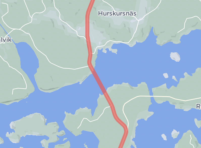
Yeah, these are definitely map data issues that must be addressed at Openstreetmap. Here’s a random ferry for you: https://dashboard.hammerhead.io/s/qfNY8BVt
-
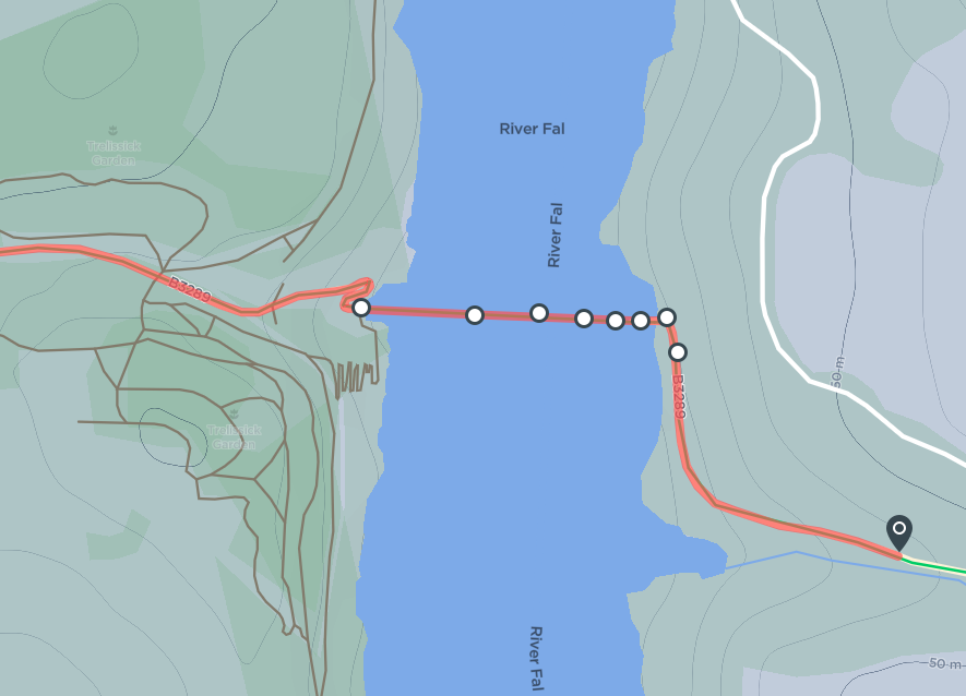
There might be some routing issues with ferries as well though. Random ferry example #2 prefers the route over land that is ~50 km longer rather than using two ferries (whereas e.g. Komoot and Google take the direct route by default) but goes the direct way if you add an intermediate point: https://dashboard.hammerhead.io/s/2BQEiiyn
-
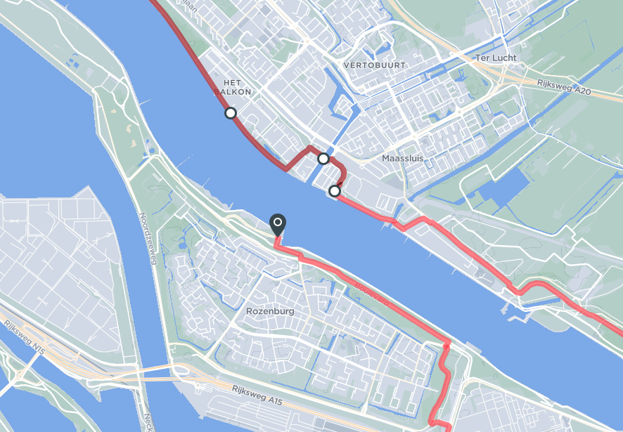
It seems like nothing is wrong with this ferry crossing in OpenStreetMaps. I can create a route over the ferry crossing without any issue, as long as my route does not come across the 6 parallel "lanes" at the Maassluis side of the ferry.
The Hammerhead route builder does not allow me to include these in the route. If I look at the source map data in OSM https://www.openstreetmap.org/edit#map=19/51.91455/4.24979, nothing is wrong with these 6 lanes. All allow bicycle traffic. Perhaps there was an issue with the map data, somebody may have corrected it in the meantime. Hammerhead is using a relatively old snapshot of the OSM map data.
Unfortunately I don't know how to lookup the history of these 6 lanes in OSM. If I use an alternative route builder such as Plotaroute, I can create a route that uses this ferry without an issue. This confirms there's currently nothing wrong with the OSM map data.
I guess this issue will solve itself with the next Hammerhead map update.


Please sign in to leave a comment.
Comments
12 comments