Road types and routing

I have just gotten my Karoo 2. I had a play and added a route from Strava I will be riding on Sunday. The Karoo 2 quickly worked out the route and routing to the ride... except rather than taking the shortest route to the route, it wanted me to take a much longer trip down small roads.
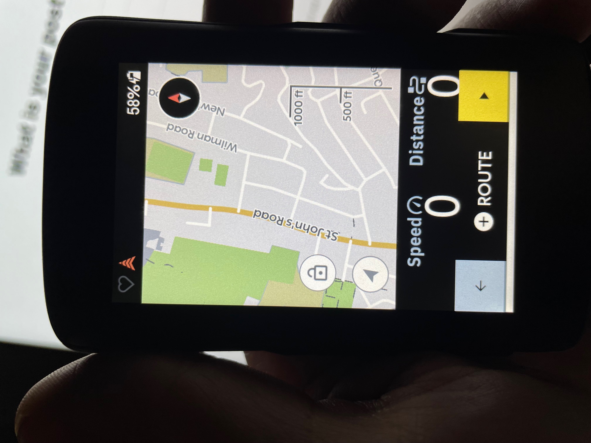
I think it is because the map thinks the main road past my house is not rideable as it is shown as an orange trunk road on the map as per this key:
https://support.hammerhead.io/hc/en-us/articles/360044351394-Mapstyle-Road-and-Paths-Legend
The road is just a standard single lane A road... that actually has cycle lanes on both sides.
Where is the Karoo getting this road info from as it is clearly incorrect?
See images below of Karoo map, google map and streetview:


Can you please advise why it is avoiding routing me on such a normal midtown road? I can see this causing lots of issues when out and about!
Additionally - if i manually picked a pin on the map on the main road to navigate to, it would happily route me down the road!
Regards,
(An already worried new customer)
Matt

Please sign in to leave a comment.
Comments
1 comment