Map Style Improvements
Answered
I have created an improved render theme so that the map looks similar to Komoot.
You can place the attached offline_v5.xml file in the internal storage folder of your Karoo. Please backup the existing file first.
Download offline_v5.xml from here:
https://gist.github.com/tonithenhausen/1210fddcd07ddf6a4ec87710d24ea222
Improvements:
- Show cycle paths as green lines
- Show unpaved cycle paths as brown lines
- Show hiking tracks/paths as solid black lines (before dashed black lines)
- Hide street name labels
- Show unpaved forest roads as wide brown dashed lines
- Show paved agricultural roads as roads instead of foot paths
- Show MTB Scale paths as dashed paths S0 in green dashes, S1 in Purple Dashes, and S2,S3,S4,S5 in Red
- Show stairs in dotted black lines
If you want to edit the file yourself, see RenderTheme specs at: https://github.com/mapsforge/mapsforge/blob/master/docs/Rendertheme.md


-

Ideally, this would be handled within Hammerhead Dashboard > Settings and the resulting offline_v5.xml pushed directly to your Karoo, in the same way that other settings can be managed from the Dashboard and pushed to the Karoo.
Users should be able to select the style of maps, level of detail, POIs, and other details they want to push to their Karoo from this web app, including the ability to customise the visual style of how certain routes are highlighted on the maps.
-

i appreciate this is not strictly on topic but am also aware of a couple on android devs on here who might not have seen this.
GitHub - hammerheadnav/karoo-sdk: Public Karoo SDK
Might be useful
-

Dear Hammerhead Team,
Can you report any positiv progress on this map style, map details theme?
I did a free ride yesterday and it was reallyy dissapointing that even a european main cycle route like the EuroVelo9 was not shown on the headunits map!!!
However, fragments of an 2digit cycle route where shown?!? what, why?
numbering model for cycle routes=
1digit: main route
2digit:beside routes
3digit: local connecting routes
I really dont know whats the reason behind this bad map style on the headunit?
Please get an unrestricted version of OCM running on the headunit, otherwise the whole headunit map display is truly usless.
(in my opinion and I quess also for many other customers who expected " the worlds finest cycling computer")
best regards!
Christian
-

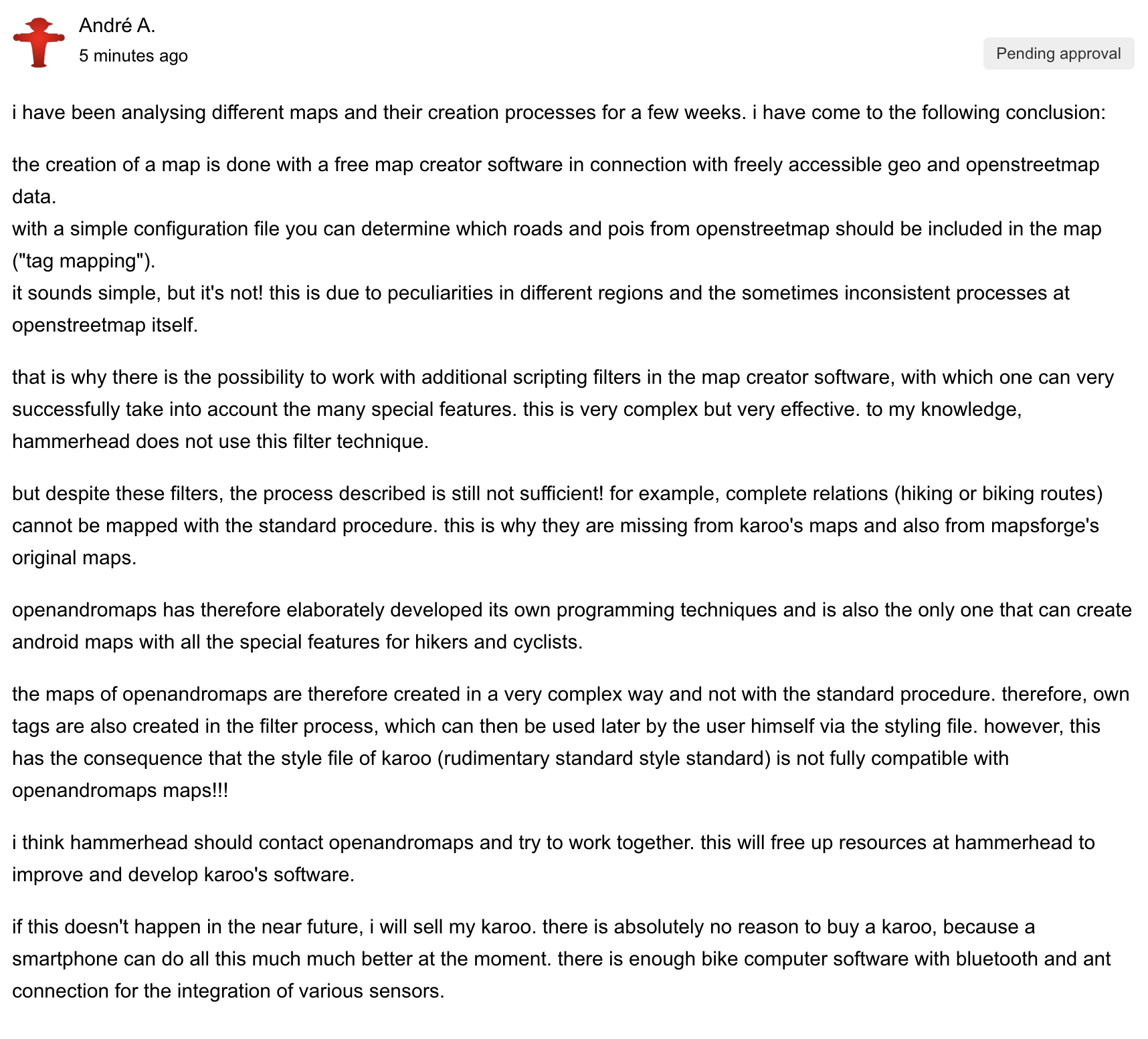
i have been analysing different maps and their creation processes for a few weeks. i have come to the following conclusion:
the creation of a map is done with a free map creator software in connection with freely accessible geo and openstreetmap data.
with a simple configuration file you can determine which roads and pois from openstreetmap should be included in the map ("tag mapping").
it sounds simple, but it's not! this is due to peculiarities in different regions and the sometimes inconsistent processes at openstreetmap itself.that is why there is the possibility to work with additional scripting filters in the map creator software, with which one can very successfully take into account the many special features. this is very complex but very effective. to my knowledge, hammerhead does not use this filter technique.
but despite these filters, the process described is still not sufficient! for example, complete relations (hiking or biking routes) cannot be mapped with the standard procedure. this is why they are missing from karoo's maps and also from mapsforge's original maps.
openandromaps has therefore elaborately developed its own programming techniques and is also the only one that can create android maps with all the special features for hikers and cyclists.
the maps of openandromaps are therefore created in a very complex way and not with the standard procedure. therefore, own tags are also created in the filter process, which can then be used later by the user himself via the styling file. however, this has the consequence that the style file of karoo (rudimentary standard style standard) is not fully compatible with openandromaps maps!!!
i think hammerhead should contact openandromaps and try to work together. this will free up resources at hammerhead to improve and develop karoo's software.
if this doesn't happen in the near future, i will sell my karoo. there is absolutely no reason to buy a karoo, because a smartphone can do all this much much better at the moment. there is enough bike computer software with bluetooth and ant connection for the integration of various sensors.
-

Hey André, I’m sure that I am among many who very much appreciate your efforts and contributions and I hope that HH do too, and that your post are approved.
One thing I don’t understand is why the Dashboard maps (at least for France and the UK where I have looked) do very clearly show national routes - e.g. Eurovelo routes. Why is it so hard to generate the same maps for Android when it can be done for the browser?
-
@Jeff Smith
these are completely different techniques. on a website *anyone* can embed maps with different data layers via an api. this has nothing to do with hammerhead or the maps of hammerhead.
why the routes are shown on the website maps is easy to explain:
the complete database of openstreetmap is accessed. thus all features are visible.with android maps (karoo, openandromaps, etc etc etc) you have to decide yourself as a developer which of the many thousands of features of the database should be integrated into a map.
in other words: if you equip the "best cycling computer" with bad maps for navigation, it is not the best cycling navigation device, but only the "best cycling computer".
-
Ah - I see, thanks for the clear explanation.
I had the wrong model in my mind. I thought that when I used the Dashboard I was interacting with a specific HH map filebase on a server, having extracted it via MapBox. It still seems weird that MapBox can’t generate a map file for the Karoo,using the same selection as is used for the browser.
Or am I wrong that MapBox is involved in all of this?
-
@jeff
the maps from mapsforge have nothing to do with the maps from mapbox. mapbox provides various (paid) api's with which you can use offline and online navigation maps.
for android offline maps, mapsforge has turned out to be the most flexible variant. a great many manufacturers rely on mapsforge maps (e.g. wahoo for elemnt bolt/roam). most android apps that work with offline maps use maps from mapsforge. either the original maps from mapsforge or self-generated maps for own special use cases.
regarding some information on mapsforge / karoo maps and styles i wrote a post here that unfortunately was not published. in it i describe the current difficulties why some details will probably never be available in karoo unless hammerhead moves: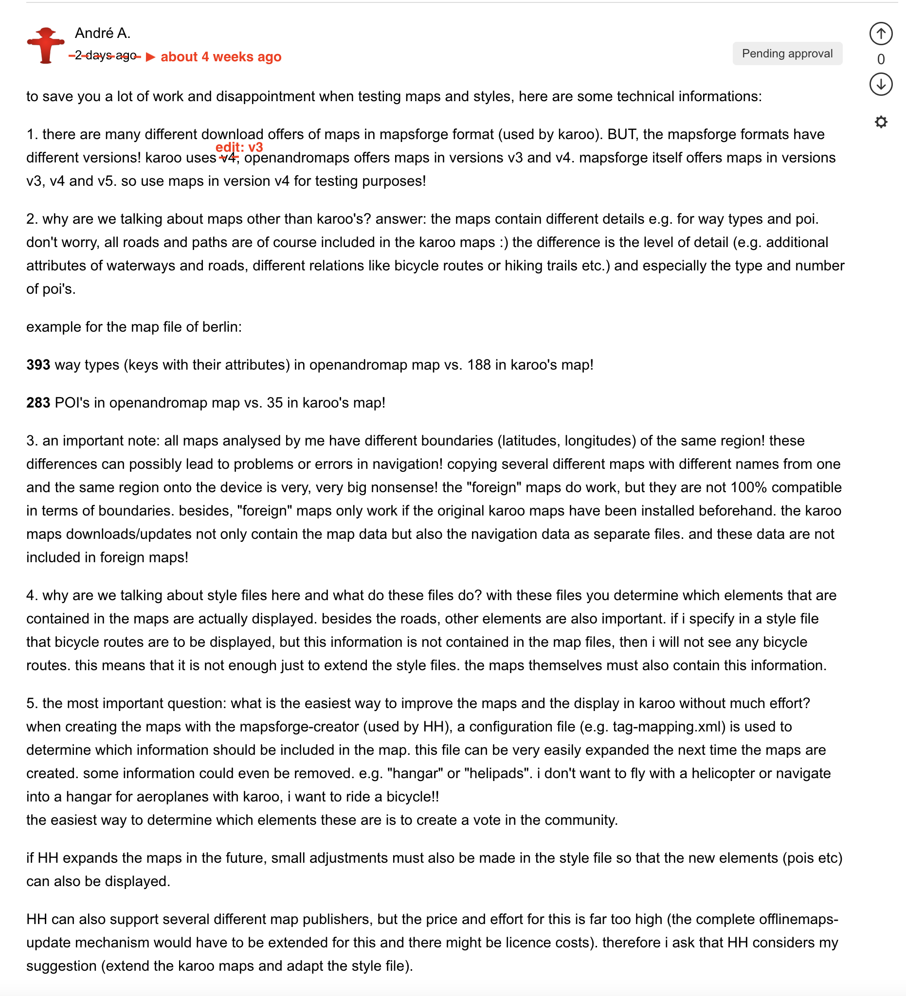
-
Thanks again André, that really helps clarify what is going on under the hood.
Your suggestion in point 5 of your post seems eminently sensible, and I hope that they take it on board. As I and others have said (and now for a VERY long time) it is silly to try to claim the best cycle computer with the best maps and screen when you can’t display national bike routes.I think your suggestion presents a low-cost way to significantly improve the quality and value of the maps on the Karoo, and to better align them with the Dashboard.
HH needs to action this IMHO.
-
André,
Perhaps you could apply for this...
Job Application for Software Engineering Manager/Director at Hammerhead (greenhouse.io)
-
Yesterdays update is shine and glimmer without any valuable content. Realy dissapointing!
Switching on bike light via BT which are in arm`s reach, and modifcation on the homescreen are gimmicks!
There is still no positive answer from KAROO to take this map details theme serious :-(
Is the KAROO Team not willing to improve these maps or are they not capable?
Are they still reading this thread?
It seems throwing smoke balls to cover serious deficiencies is all I can expect from the world greatest headunit.
Sadly, its to late to return my headunit.
-

@Christian
it have not to be so simple. We do not see the background about it, so it can take some time. Each development team is prioritising critical bugs, which can be basic stones to develop another features.
It could be, that ANT+ lights were in development for several weeks, months.
We will see....
-
Lightning-fast, intuitive software delivers the best mapping and navigation, and most beautiful data, allowing you to explore and achieve your goals.
I now disagree with two of these claims. It is nothing like ‘lightening-fast’ when starting up - it is notably slow.
And as for the ‘best mapping’, how can this be claimed when national bike routes are not displayed?
I do love the K2, but I just can’t see why the map style issue hasn’t been addressed yet. I have raised this particular problem for over two years now, and others have been able to offer very valuable insights and approaches to improve it. It is only by help from this thread that I have been able to fix it by using OpenAndroMaps and the suggestions of how to modify the offline_v5.xml file.
This needs to be prioritised. National (and regional) bike routes are a must-have - automatically turning on and off lights is (for me) just a nice-to-have. Hammerhead is claimed to be led by cyclists (as well as founded by cyclists) - surely the map quality is a very high priority?
We need to be able to select from a set of map layers - and customise a layer for individual requirements. It is possible, and even Garmin have user-selectable map layers on their watches now!
Can we have some confirmation that this issue is recognised as a real need and is on the schedule?
-
I tend to agree with much of what is being said in this thread. The level of mapping provided is already starting to alienate some gravel and mountain bikers here because the level of detail is insufficient.
Controlling Ant+ lights is such a first world problem. If there are alternative methods of turning lights on and off (like a physical button!) then this is not a high priority item in your backlog. Displaying national and regional cycle routes on a cycle computer really lives in the "must have" bucket and really should be permeating its way towards the top of your backlog, if it isn't already.
-

Hi All, we have fixed a number of bugs that were shared on this thread, as well as displaying the cycling networks. International, National, Regional, and Local cycling networks will be displayed on the Karoo. The version will be released to the ATG riders tomorrow and to the general public next Thursday, June 17th.
-
Hi, I have updated to the new version, but unfortunatly it seems that it is no longer possible to replace the "offline_v5.xml" file in the internal storage. My custom map style no longer works. Have you removed the option to customize this file? If so, would it be possible to return the device and get a refund? A month ago I sent an email regarding my melted charging port and asked if I could postpone the replacement in the winter. Can I get a refund instead?


Please sign in to leave a comment.
Comments
65 comments