Bug: Strange spikes in altitude data
Answered
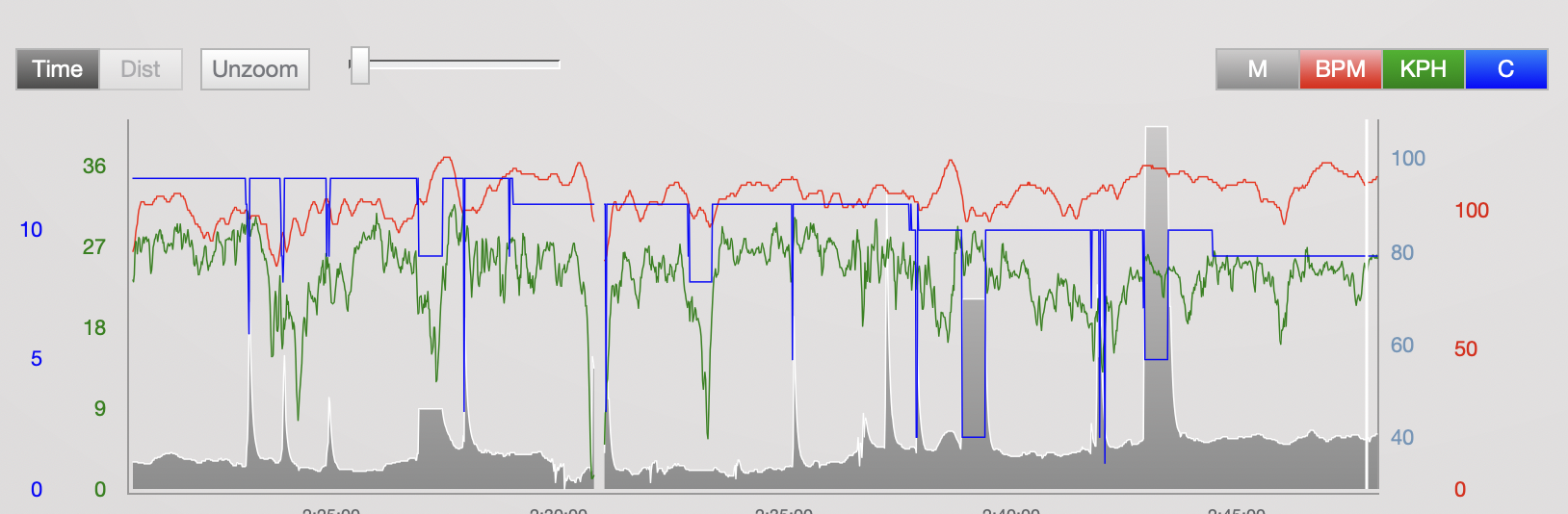
My elevation gain numbers are nonsense because of spikes like these in the altitude data:
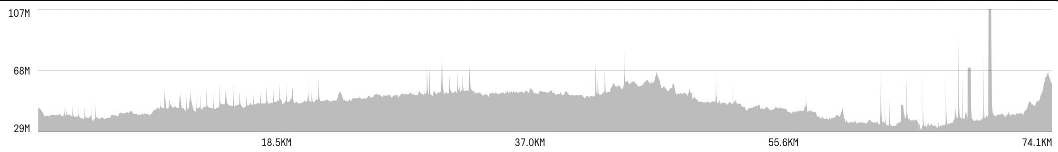
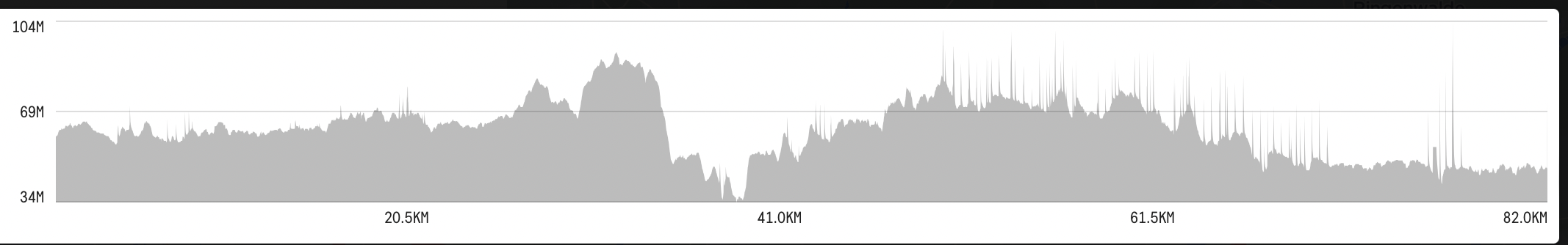
For instance both of these rides recorded over 1000 m of extra elevation gain compared to the numbers shown by Komoot for the same routes. This has been occurring on a regular basis for quite a while, but somehow it only happens in the Berlin/Brandenburg area, whereas altitude data for rides in southern Finland looks quite normal, so I’m wondering if these spikes are somehow connected to the map data.
-
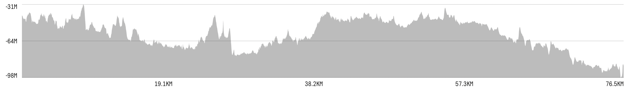
Yeah, that’s what I thought as well. Still, it being anything weather-related doesn’t make any sense to me, because here’s another ride from about two weeks ago in extremely challenging weather (wind gusts well above 20 m/s, should not have stopped reading the forecast at “no precipitation”...) in Finland, and the temperature and altitude data seem completely normal (apart from the lack of altitude calibration):
-
I checked that I have automatic calibration on (must have somehow failed in the ride that was recorded as being all below sea level) and it says something about using the internet connection and what else, is the unit really doing something too smart for its own good in terms of altitude calibration? I would think that doing it at the start of the ride (or once every 3–6 hours) would be enough, after all we’re not trying to land an airplane here or anything...
Anyway, I’ll try both turning the mobile data off and switching to manual calibration.
-
More experiments done (expected altitude gains according to Komoot, with some margin off error due to deviations from planned routes):
- mobile data on, automatic calibration on: 500–600 m expected, 2372 m recorded
- mobile data off, automatic calibration on: 250–350 m expected, 450 m recorded
- mobile data on, automatic calibration off: 350–400 m expected, 1617 m recorded
- mobile data off, automatic calibration off: 300–400 m expected, 628 m recorded
I guess the winner is option number 2.


Please sign in to leave a comment.
Comments
11 comments